Enterprise-Grade Spatial Intelligence
Experience the ability to process complex geospatial data and map-based workflows. From urban planning to logistics, KNetAI brings geographic context to your AI agents.
The Gap in Spatial Data
Fragmented GIS data locked in legacy formats.
Difficulty in automating logistics and route-based tasks.
Inability to correlate business data with geographic reality.
Spatial AI Features
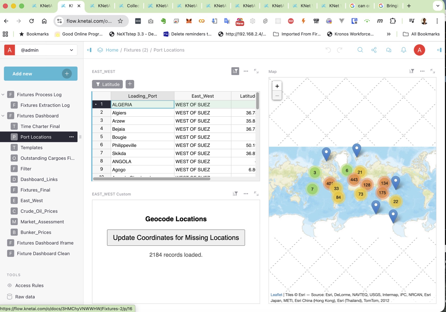
- Equip your agents to render and interact with live maps. Visualizing datasets on top of geographic layers for better decision-making.
- Automate the extraction and analysis of coordinates, shapes, and location-based trends across your enterprise documents and databases.
- Deploy agents that handle route planning, asset tracking, and location-aware scheduling with precision.

Why a GIS Engine for AI?
Location is often the most critical context for business decisions. The KNetAI GIS Engine allows agents to not just 'talk' about places, but to interact with their geographic properties.
Unified Mapping Workflow
Combine satellite imagery, traffic data, and internal asset locations into a single AI orchestration canvas. Your agents can now trigger actions based on real-world proximity and spatial constraints.
Spatial Accuracy at Scale
By using specialized geospatial processing nodes within Mission Control, KNetAI ensures that distance calculations, boundary checks, and route optimizations are consistent and reliable across millions of interactions.

Bring location to your AI agents.
Join the enterprises building spatial-aware AI with KNetAI. Scale your geospatial operations today.